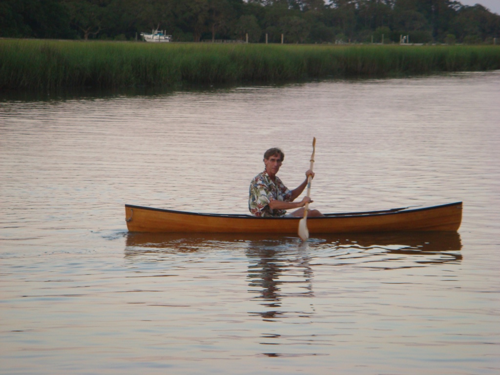


Since we’ve been doing a little paddling around the streets of Charleston during the past week, it seems to be an appropriate time to visit the topic of Urban Resilience, a concept defined by the Rockefeller Foundation as: “The capacity of individuals, communities, institutions, businesses, and systems within a city to survive, adapt, and grow no matter what kinds of chronic stresses and acute shocks they experience.” The foundation’s 100 Resilient Cities initiative considers resiliency in terms of chronic stresses – those that are cyclical or recurring and that, over time, can undermine the fabric of a city (i.e. high unemployment, inefficient public transportation, crime, water shortages, etc.), and acute stresses – those that are sudden, sharp and destructive events (i.e. hurricanes, floods, earthquakes, disease).
In the past few days we’ve seen a series of “rain bombs,” those periods of intense rain in short periods of time that result in what is generally referred to as “shallow coastal flooding” throughout the historic city. According to data shared by the Coastal Conservation League’s Myles Myland – both as a project posted here and during his presentation on resiliency at February’s event “A Vision for Charleston: Priorities for the Next Mayoral Administration” – Charleston has gone from 25± rain events like this per year to more than 80. With this kind of pattern it would seem that local towing companies may have a “sustainable” income stream hauling out flood-damaged cars from vulnerable streets and intersections, but that business model should probably not be a reason to do nothing.
Charleston has demonstrated a certain “resilience” when it comes to various stresses in its history, such as hurricanes, fires, earthquakes, and even violence. However, the now-routine threat of coastal flooding, often attributable to the effects of climate change, has worsened in recent years. It isn’t hard to see where the flooding issues mostly lie. Many areas on the peninsula, for instance, have been filled to create more land area. Historic Charleston On a Map was drawn by Alfred O. Halsey in 1949 to illustrate the development of the historic city (available here to explore courtesy of The Preservation Society), laying out the old peninsula configuration with its many creeks and inlets, as well as providing some insight into some of the past events that affected the city’s development.
Whatever your position may be on climate change, sea levels do appear to be rising, at least to the extent that our current infrastructure seems incapable of handling the storm-water runoff during heavy rains, particularly at high tide. And Charleston is not unique among coastal cities where this effect is being felt.
The Rockefeller Foundation enlisted the assistance of the global engineering firm Arup to develop a City Resilience Framework (CRF) that reflects the actions cities can take to improve their ability to recover from the ill-effects of stresses depending on whether chronic or acute, physical or cultural. For the flooding that Charleston faces, CRF points to solutions that relate to both Infrastructure and Environment. According to CRF, a resiliency plan to address this type of flooding should:
(1) Provide and enhance protective natural and man-made assets
(2) Ensure continuity of critical services
(3) Provide reliable communication and mobility
Over the past 25 years, Charleston has made significant investments in man-made flood control measures – including pumping stations and deep drainage tunnels. The work is very expensive (often dependent upon federal assistance) and ongoing. Yet we are still plagued by flooding on occasion, even in areas where these systems have been installed. A overview of the city’s challenges and strategies are slated to be outlined in a comprehensive drainage plan and can be found in this 2010 article by City Engineer Laura Cabiness and published in the Charleston Post and Courier.
On the other hand, we have dedicated fewer resources to enhancing our natural defenses, and these might just present a reasonable value. It is widely known that marsh, other types of coastal ecosystems, and vegetated buffers can significantly reduce the effects of flooding, acting like giant natural sponges to slow and absorb stormwater runoff, tidal surges, and other rain events. This is a strategy that is being implemented in many cities to complement man-made infrastructure projects. The Brooklyn Waterfront Greenway Plan illustrates a number of “green” infrastructural strategies that the New York City borough is planning to use to:
(1) Develop a “backbone” system that can divert and contain stormwater within the watershed rather than into the drainage system that has historically combined stormwater and sewer.
(2) Function as flood protection while also providing the benefits of pedestrian and bicycle transportation, public space, and parkland.
The City of Charleston’s waterfront promenade along the High Battery is deteriorated in many areas and presents a significant opportunity to implement natural strategies to better protect the peninsula as part of its restoration effort. Another possibility lies with the Charleston County Parks and Recreation Commission. This entity has been very effective in strategically procuring parkland using the proceeds from a bond referendum passed specifically for the purchase of land susceptible to significant escalation in value, such as waterfront property. A number of these sites, along with parks within the City of Charleston, are at waterfront locations and could easily complement the “green necklace” of parks foreseen for West Ashley.
Strategies to address the flooding will need lots of public support and patience – nothing like this happens overnight as we know. But, the clock is ticking…